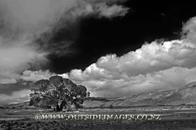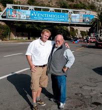
Bobby has just come back from a spring photo expedition in California on US Route 395.
This time of the year can see some spectacular light with clear blue days.
U.S. Route 395 (US 395) is a 557-mile (896 km) route which traverses from Interstate 15 near the southern city limits of Hesperia, north to the Oregon state line in Modoc County near Goose Lake. The route clips into Nevada, serving the cities Carson City and Reno, before returning to California.
Prior to truncation, US 395 served the metropolitan areas of San Diego and San Bernardino. The highway serves as a connection to the Los Angeles area for the communities of the Owens Valley, Mammoth Mountain and Mono Lake. The highway is used as an access for both the highest point in the contiguous United States, Mount Whitney, and the lowest point in North America, Death Valley.
The corridor has been used since the California gold rush, and before numbering was known by several names including El Camino Sierra. This route is part of the California Freeway and Expressway System and is eligible for the Scenic Highway system.


